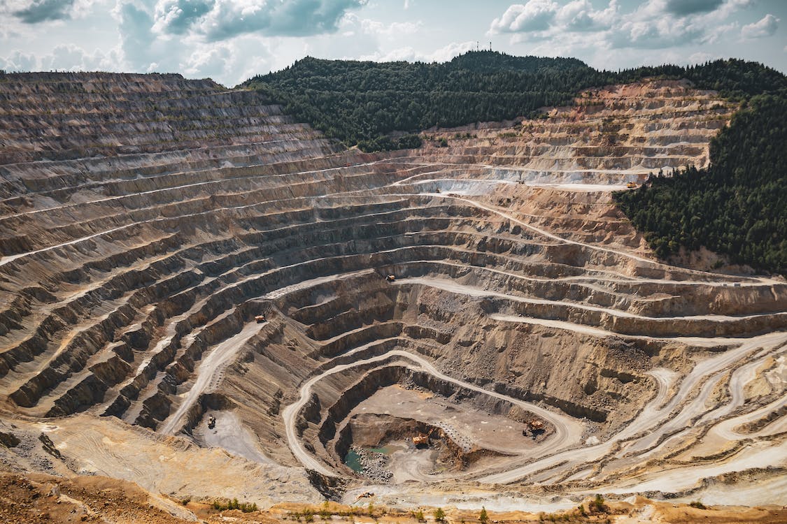
Geological Exploration Microseismic Sounding (GEMS)
This innovative method of passive seismic exploration harnesses the Earth’s natural background waves, or microseisms, as its probing signal. Unlike traditional approaches reliant on artificial sources such as explosions and vibrators.
GEMS boasts unparalleled versatility. Its capabilities extend unrestrictedly to great depths, as well as challenging terrains such as mountains, forests, and swamps.
It’s important to note that GEMS does not replace the conventional steps in mineral exploration; instead, it seamlessly complements them, significantly enhancing the overall efficiency of the exploration process. By utilizing our technology, our clients gain a more profound understanding of underground structures, equipping them to make well-informed exploration decisions.
The goal of applying GEMS technology to mineral exploration is to achieve significant cost savings during the exploration drilling phase, both in new areas and in areas where further exploration is required. The technology can be used to study fault tectonics and mineral deposits located in fault systems and fracture zones. Its efficiency and compactness allow microseismic to be used in prospecting for the detection of overlapping extensions of ore-bearing structures.
About GEMS
- Technology invented in 2003
- Company founded in 2016
- Offices in 4 countries: Cyprus, Botswana, UAE, Zambia
- Implemented over 28 projects worldwide: Botswana, Laos, Kyrgyzstan, Zambia
GEMS: Geological Exploration Microseismic Sounding
The method provides structural information in the search for ore bodies, diatremes, oil and gas reservoirs, the study of geological faults, zones of increased porosity and fracturing, slope slip, etc. GEMS provides high-resolution three-dimensional images with dynamic changes and has several advantages over traditional exploration methods.


Technological advantages
Does not require expensive and complex fracturing: drilling, explosives.
Uses natural or artificial sources of seismic waves: atmospheric vortices, surf or hydraulic fracturing.
Does not harm the environment or violate environmental regulations: it does not create noise, vibration or electromagnetic disturbances that affect humans, animals or plants.
Helps prevent accidents, hazards or losses during mining operations.
Allows continuous monitoring of the underground space in real time: to follow the dynamics of changes in underground objects – cracks, folds, movements or deformations.
Business advantages
Interpretation of data at the same time as fieldwork. Final report within 2-4 weeks of completion of fieldwork.
The equipment solutions are versatile. They allow seismic surveys to be carried out in any terrain, including areas with developed infrastructure.
There is no limit to the depth of exploration with this technology. The probe’s signal penetrates the ground at any point and at any depth.
The technology has no impact on the environment and does not require additional research permits.
Using GMEC Microseismic’s GEMS technology solutions, our customer was able to complete a five- year exploration program in just six months and reduce drilling volumes by 50%.
A model of meaningful signal formation in GEMS.
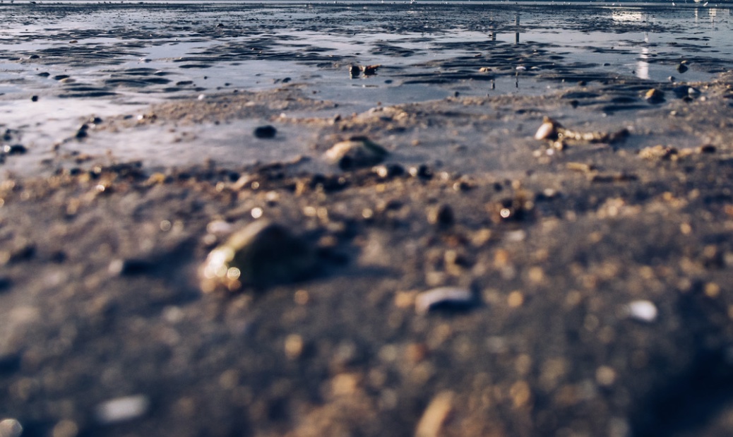
The analogue of a microseismic field can be a random wave field at the water surface:
Rocks do not rise to the surface, but they introduce distortions into the random field from which the presence and position of rocks can be judged.
Project Stages
- Profiles are determined together with the customer’s geologists based on the recommendations of GMEC Microseismic LLC technical team to achieve best results and optimise the number of survey points.
- Mobilisation can be arranged fast depending on weather and site conditions and equipment availability.
- Data interpretation is made by GMEC Microseismic’s proprietary software using big data analysis and AI algorithms.
- Technical report with 2D image is delivered within 48 hours after completion of fieldwork for each profile.
- Final report with geophysical recommendations is submitted within 2-4 weeks after completion of the fieldwork for all profiles.
Ores Company Experience
Lithium. Company experience 2023 | Lithium field, Rio Grande Salar, Argentina

The survey was performed at the greenfield lithium field at 4,000 meters above the sea level.
The main objective of the work was to map structures (faults) at depth in order to avoid additional costs for the planned drilling, as well as to study resources in more detail and generally expedite project deliverables.
2D image of the long profile was generated by GEMS within 1 day after completion of the field survey.
It revealed areas of interest (in the center and on the left of the image) at various depths.

Ores Company Experience
2023 | Lithium field, Rio Grande Salar, Argentina
Magnetotelluric method showed approximate location of lithium while GEMS give much more precise information about the lithium lenses and their depth.
Magnetotelluric were shared by the customer after completion of GEMS imaging. It can be seen that the anomaly on the right identified by the magnetotelluric method is most likely not lithium as GEMS shows that it is possibly some hard structure due to higher wave velocity.
Ores Company Experience
2023 | Refunsa gold area, Zambia
The main objective of the work was to demonstrate the capabilities of GEMS technology for Zambia Gold Ltd along the Refunsa fault, the oldest fault in area.
Zambia Gold compared their results with the report prepared by GEMS.
With the limited data from Zambia Gold, GEMS survey shows that certain areas are sites that need to be investigated further with drilling or closer station spacing profiles to better define the optimised drill sites for exploration.
GEMS’s two-week blind test showed more data than 2 years of previous geophysical studies and drilling.


Ores Company Experience
2020 | Jerui gold mine, Kyrgyz Republic
The work was carried out in the highlands with absolute heights of 3050 – 3300 m, in conditions of rock-scree relief.
The main objective of the work was to reduce the amount of exploration drilling.
Based on the results of the GEMS survey, exploratory drilling was carried out which revealed a thick fault zone.
Kimberlites. Company experience
2020-2023 | Jwaneng mine, Botswana
We executed several contracts at the Jwaneng Mine. The main results of the work are:
• The structure of diatremes, fault zones and fracture zones in the 0-6 km depth range have been obtained. In particular, a quasi-3D image of the DK7 diatreme was obtained, showing that it reaches a depth of 2-2.5 km (from the surface).
• Based on the GEMS data, the exploration drill programme was adjusted (including a 50% reduction from the original plan).
• Ten new exploration drill targets have been identified.
• In addition, a groundwater body and its limits were identified by GEMS and confirmed by drilling.


Kimberlites. Company experience
2022 | Orapa mine, Botswana
The primary objective of this project was defined as the delineation of structural geologic elements in the geologic context of the Orapa Mine area.
The main results of the work are:
• The structure of the diatreme, fault and fracture zones in the 0-6km depth range were obtained.
• In the 0-400m depth range, current GEMS data is fully consistent with previous drill data.
• The deep roots of two kimberlite pipes have been discovered.
Kimberlites. Company experience
2022-2023 | Private kimberlite deposit, Botswana
The main objective of the work was to estimate the potential volume of the kimberlite mass.
The main results of the work are:
• At the first stage, it was demonstrated that GEMS reflects the position and shape of kimberlite embeddings.
• At the second stage, the survey lines of the first stage were slightly expanded and it was shown that kimberlite embeddings have a more complex shape at this site than the classic “carrot”.
• At the third stage, a survey allowed getting upper and lower estimates of the potential volumes of kimberlite.


Geological Safety. Company experience
2022 | Jwaneng mine, Botswana
Open pit slope stability is critical to the achievement of a mine’s business objectives. Loss of stability can result in a serious/catastrophic slope failure that could result in loss of life, environmental degradation, reputational damage, or loss of business.
One of the most important elements affecting stability are weak zones such as faults and lithological boundaries. Activity monitoring along these structures is necessary for early detection of deep movements.
In the course of surveying the zones adjacent to the Jwaneng quarry, porosity zones were established. During the completion drilling, it was confirmed that these zones are water-saturated. Work is currently underway to drain them.


Geological Safety. Company experience
2018 | Landslide slope, Xekaman-3 HPP, Laos
Since 2012, ruptures of the supply conduits began to occur at the hydro power station. The operation of the hydroelectric power station was stopped, VietLaoPower suffered heavy losses. Several previous surveys could not provide reliable information about the nature of the ongoing processes.
As a result of the GEMS research, a detailed geological and geophysical section was compiled to a depth of up to 450 m, with the visualization of separation zones, multi-tiered slickensides, a bulging zone of a landslide slope and watering of a rock mass.
The sliding mirror of the landslide and its size (~1.5 million tons) were determined, which allowed to predict the behaviour of the landslide for a long period and prepare engineering solutions to ensure the smooth operation of the HPP.

Geological Safety. Company experience
2009 | Karst in limestone sediment
The customer requested to determine the nature of the non-drying pond on the surface.
GEMS area survey showed that the pond was on top of the karst sinkhole.


Regional Profiling. Company experience
2022 | Botswana regional profile
In-depth study of the structure of regional faults and magmatic channels performed in cooperation with the Botswana Geoscience Institute with the following purpose:
• obtaining information about the geological structure which allows to see the geodynamics of phenomena at great depths and their transformation into events on the surface of the earth.
• identification of potential ore rich plots for further detailed survey.


